Posts

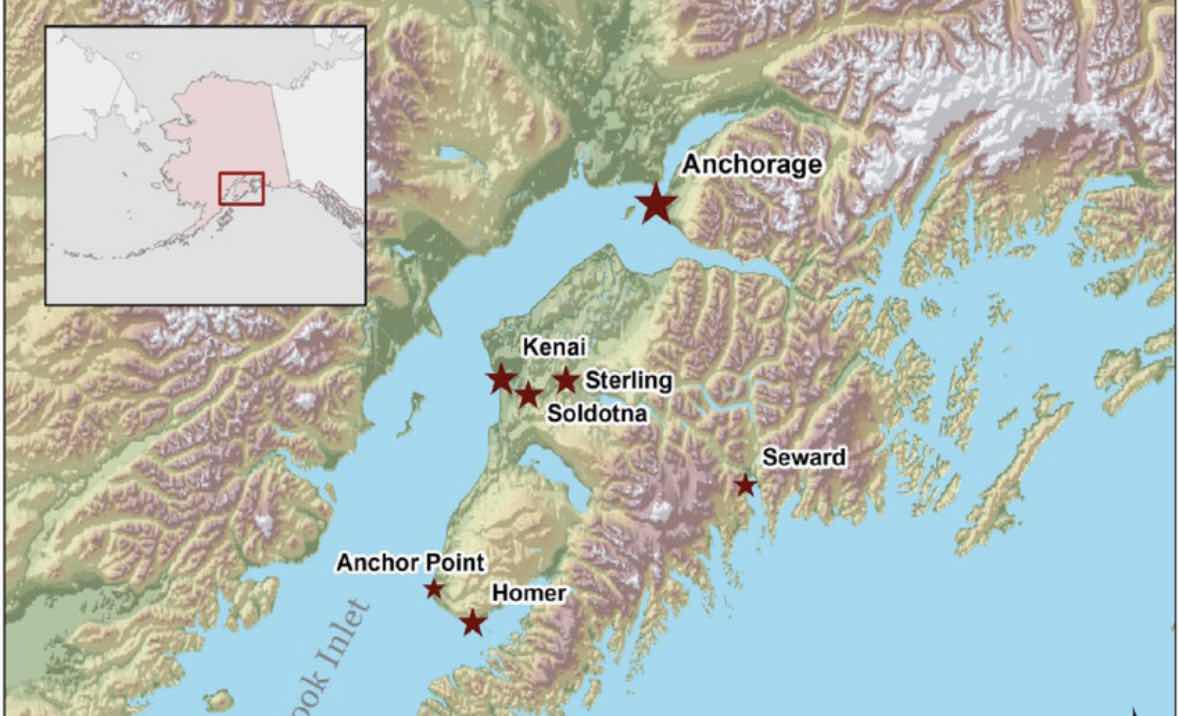
The Harding Icefield Trail

Image
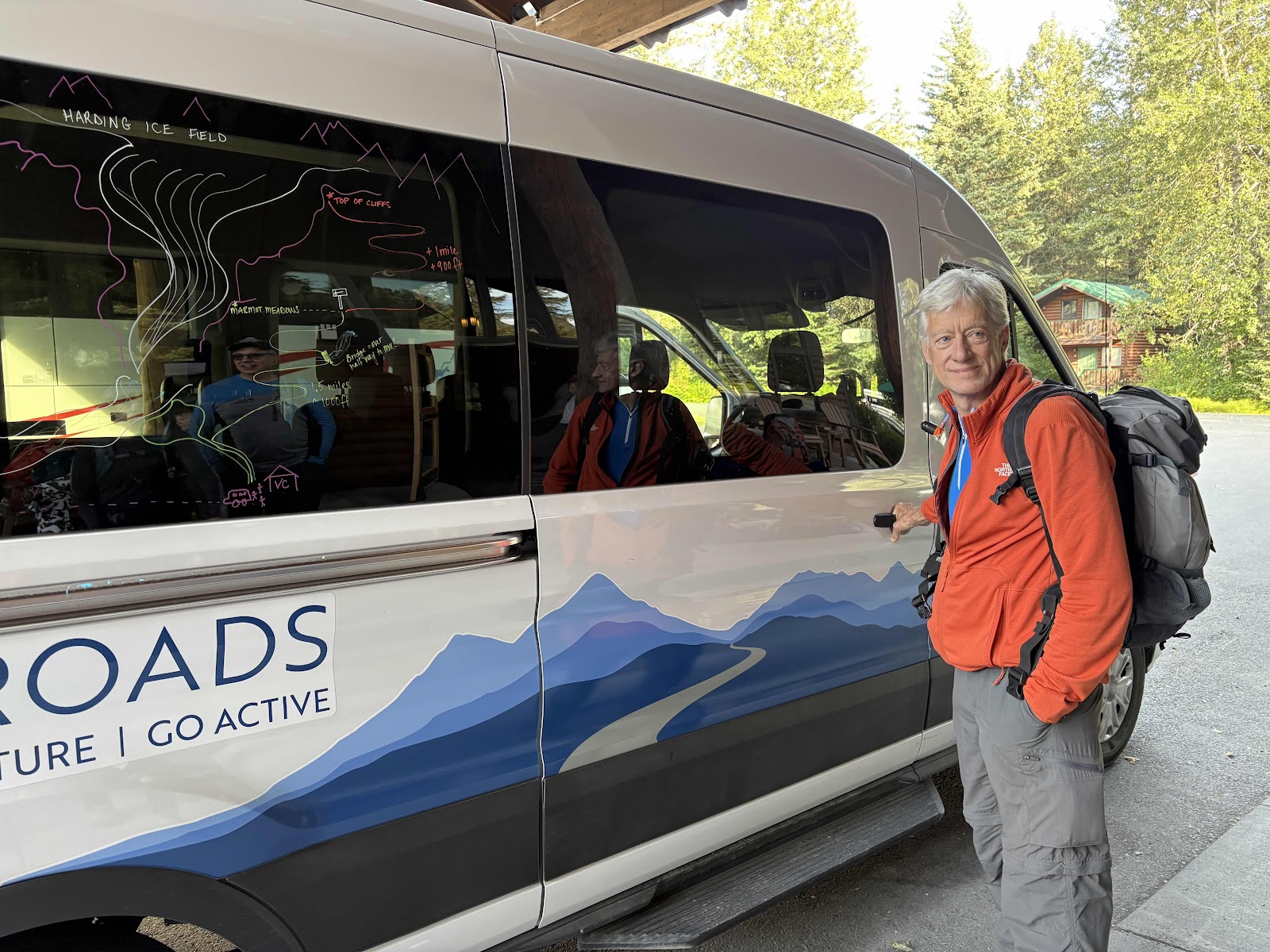
Today, we shuttled to Kenai Fjords National Park to embark on our most ambitious hike yet - the Harding Icefield Trail..  With an average of 1,000 feet of elevation gain per mile, we knew we were in for a day with lots of switchbacks! For me, there is definitely a mental piece to tackling a challenging hike, but it helped that the last several days had gone well.  As we climbed up the switchbacks, the views were so beautiful complete with a wide variety of meadow flowers.  Here, we starting getting a first glimpse of Exit Glacier which comes out of Harding Icefield. Harding Icefield is an expansive icefield located in the Kenai Mountains. It was named for President Warren G. Harding.  We learned about the difference between an icefield and a glacier. An icefield is a large area of interconnected glaciers in a mountainous region while a glacier is a single flowing mass of ice. Our leaders said you tell the difference by the colors - the icefield is white and the glac...

The Epic Journey of a Salmon

Image
Today we left Homer to travel to Seward which is also located on the Kenai Penisula. Because of the massive Kenai Mountain range, we had to travel north to Soldotna and then east in order to be able to get to Seward.  Because it was a clear day we got to stop at an overlook and see several volcanoes on the "ring of fire" on the Aleutian Islands which extends westward from the mainland. We got really good views of the Lliamna and the Redoubt volcanoes.  On our way to Seward, we stoped at Kenai National Wildlife Refuge to hike to Shilak Lake. While we were taking in the beauty of the lake, we learned about diverse fish that are found in Shilak Lake - Sockeye, Coho, and Pink Salmon along with Rainbow and Lake Trout. We also learned about the journey of salmon. When the salmon are born in Shilak Lake (fresh water)  they travel to Cook's Inlet (salt water). The salmon spend several years in the ocean maturing before they start to return to the exact spot where they were born ...

Purse Seine Fishing

Image
Today, we got to witness and learn about purse seine fishing right outside our window. Greg and I were fascinated by the fishing boats in the bay, each one accompanied by a smaller skiff. We could tell these two boats were working together to catch fish, so we asked "Uncle Google" about fishing methods in Alaska.  Turns out that we were witnessing purse seine fishing for salmon right in the Kachemak Bay outside our window. Here's what we learned - purse seine fishing is a technique that uses a large vertical net to surround and enclose schools of fish.  The larger boat is partnered with a smaller skiff to lay out the net which has floats on the top and weights on the bottom. The skiff then moves its end so that the net is in a circle. Crew members on the large boat and the skiff "slap" the water with long wooden poles which forces the fish into the net. Then the bottom of the net is tightened like a drawstring purse capturing a large number of fish. Once the bot...

Grewingk Glacier

Image
This morning we walked a short distance to get on a water taxi that would take us on a 40 minute ride across Kachemak Bay to Kachemak Bay State Park.  On our way over, we stopped by what is called "gull island" that is a gathering place for all kinds of birds. We got to see some puffins plus three otters floating on their backs.  Once arriving at a place where the water taxi could beach, we disembarked and got ready to start our hike for the day.  The first part of the hike was a series of switchbacks that took us high up while providing a variety of spectacular views of Kachemak Bay. Eventually, we had a late lunch at Grewingk Lake, a beautiful glacial lake at the base of the glacier. There were big icebergs floating in the lake.  We made it back down the steep switchbacks later in afternoon in time to take the water taxi back. We had hiked 10 miles and I had just over 29,000 steps on my Fitbit.  Once we got back, a smaller number of us took up our leaders, La...